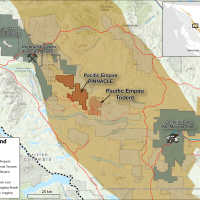
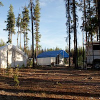
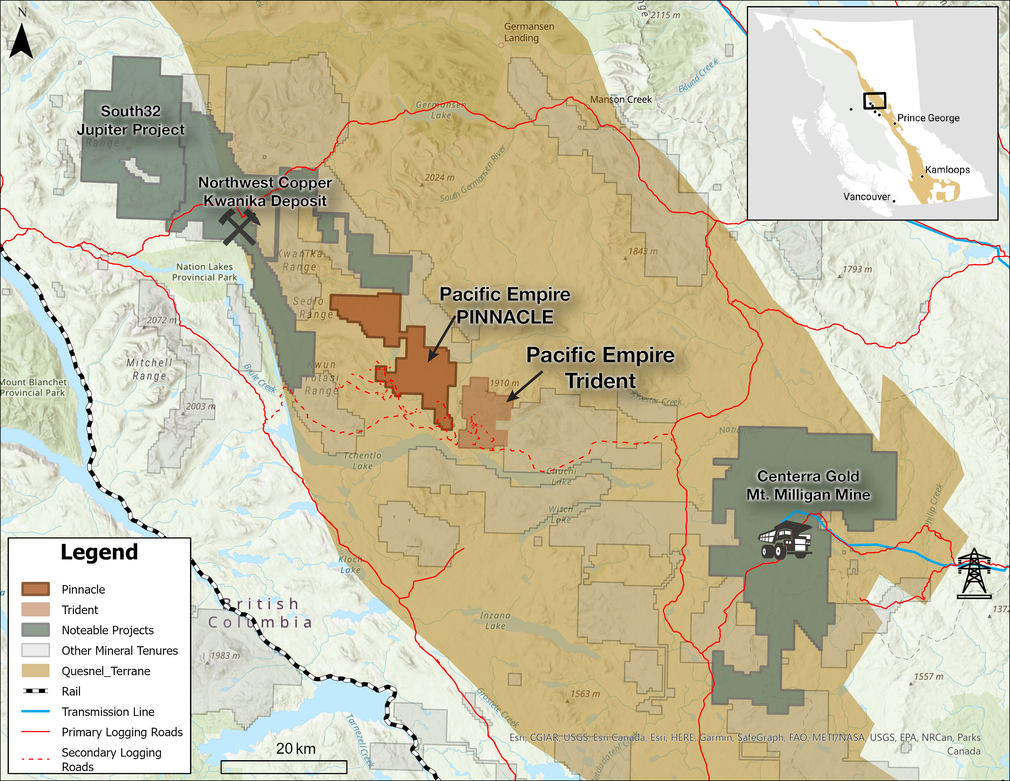
Location:
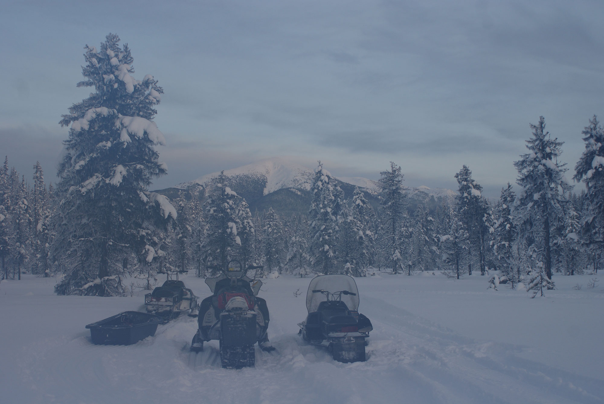
North-Central British Columbia
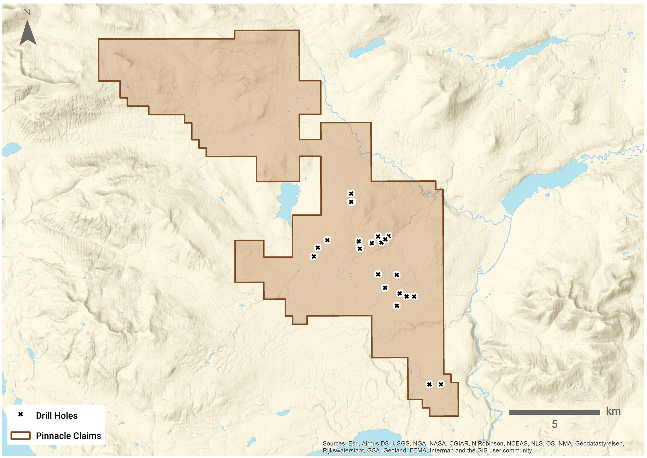
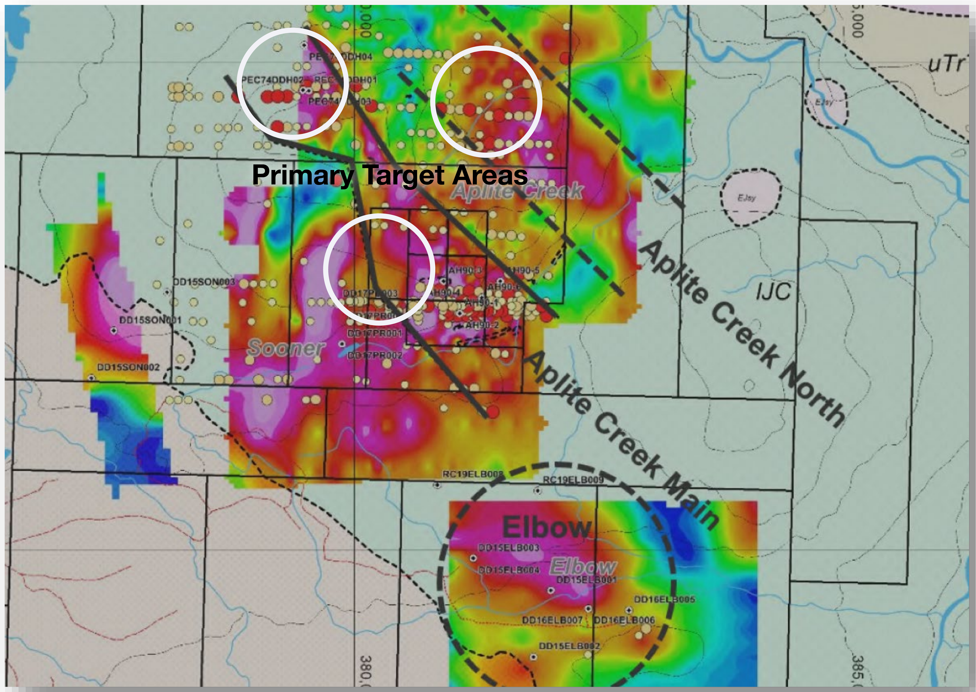
Pinnacle covers a large intrusive–volcanic package consistent with alkalic porphyry systems. Historic IP chargeability and Cu/Au soils define multiple, corridor-scale anomalies; several are now easier to advance thanks to recent roadbuilding. 2025 work focuses on refining geometry and ranking corridors for scout drilling, with ground-based MT planned for 2026.
Historical information caution: intervals above are historical and not current resources under NI 43-101; they’re presented for geologic context.
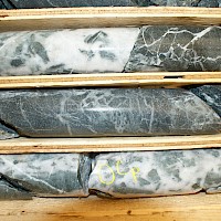
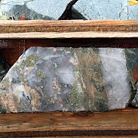
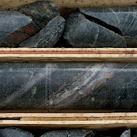
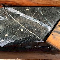
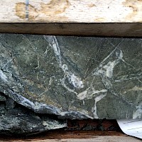
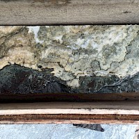
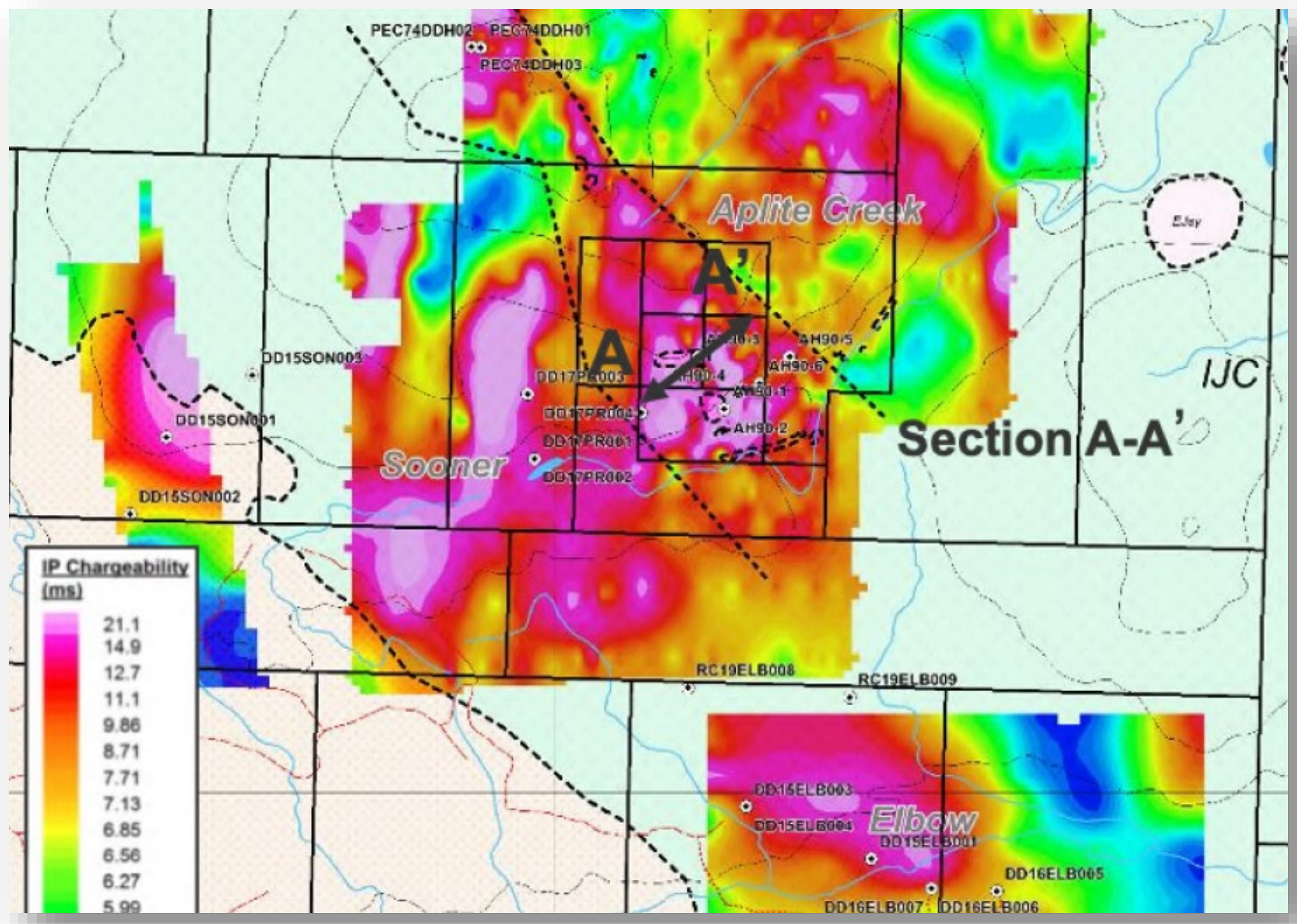
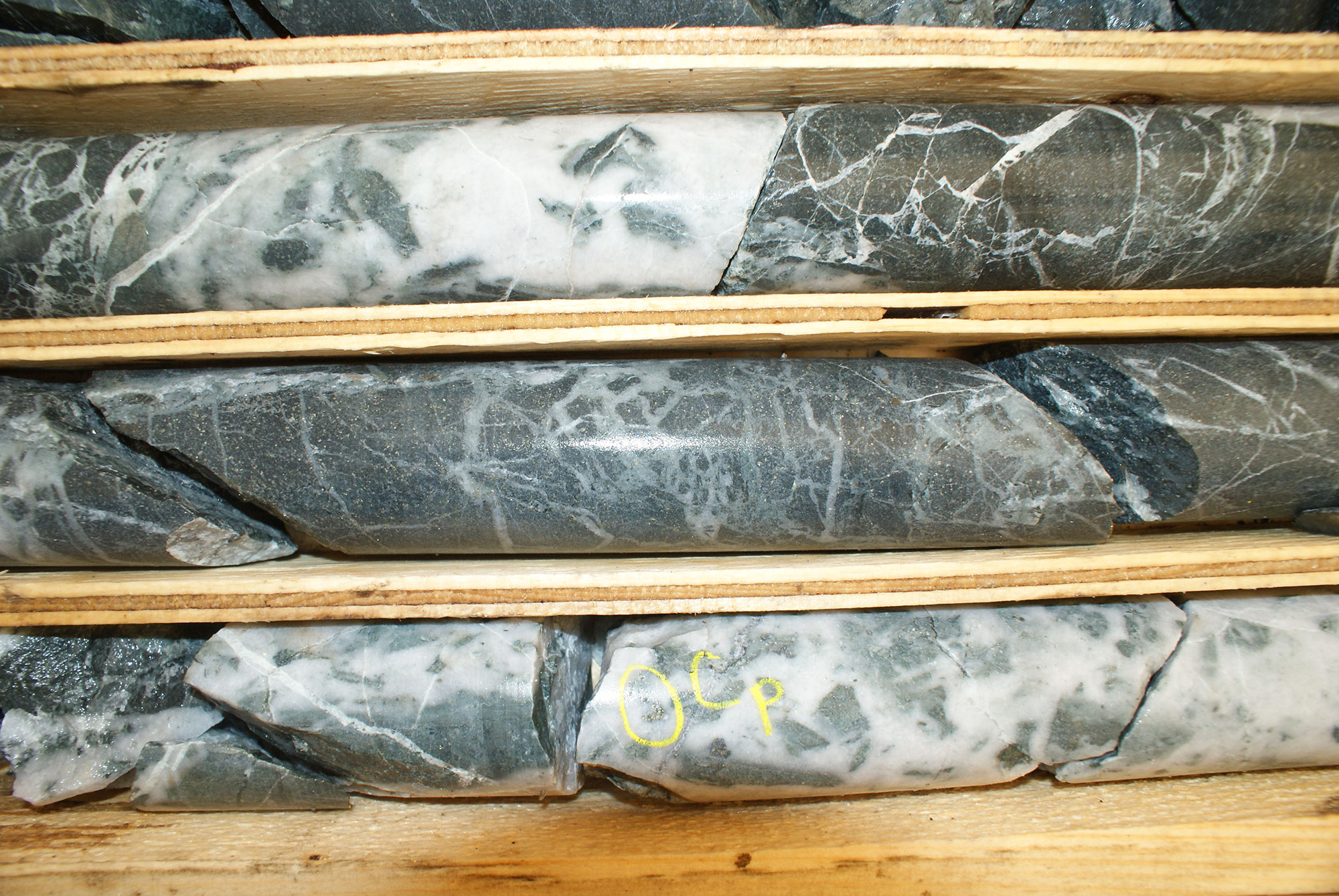
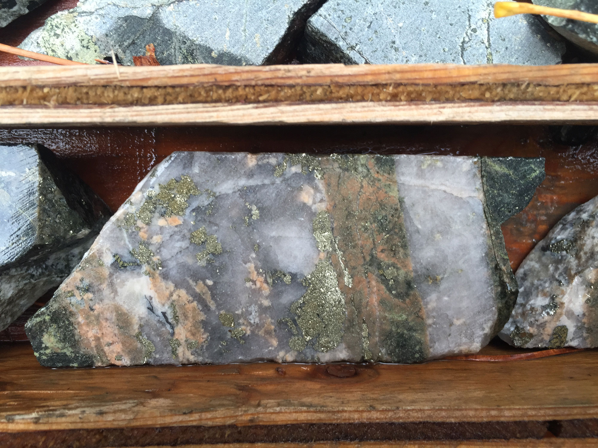
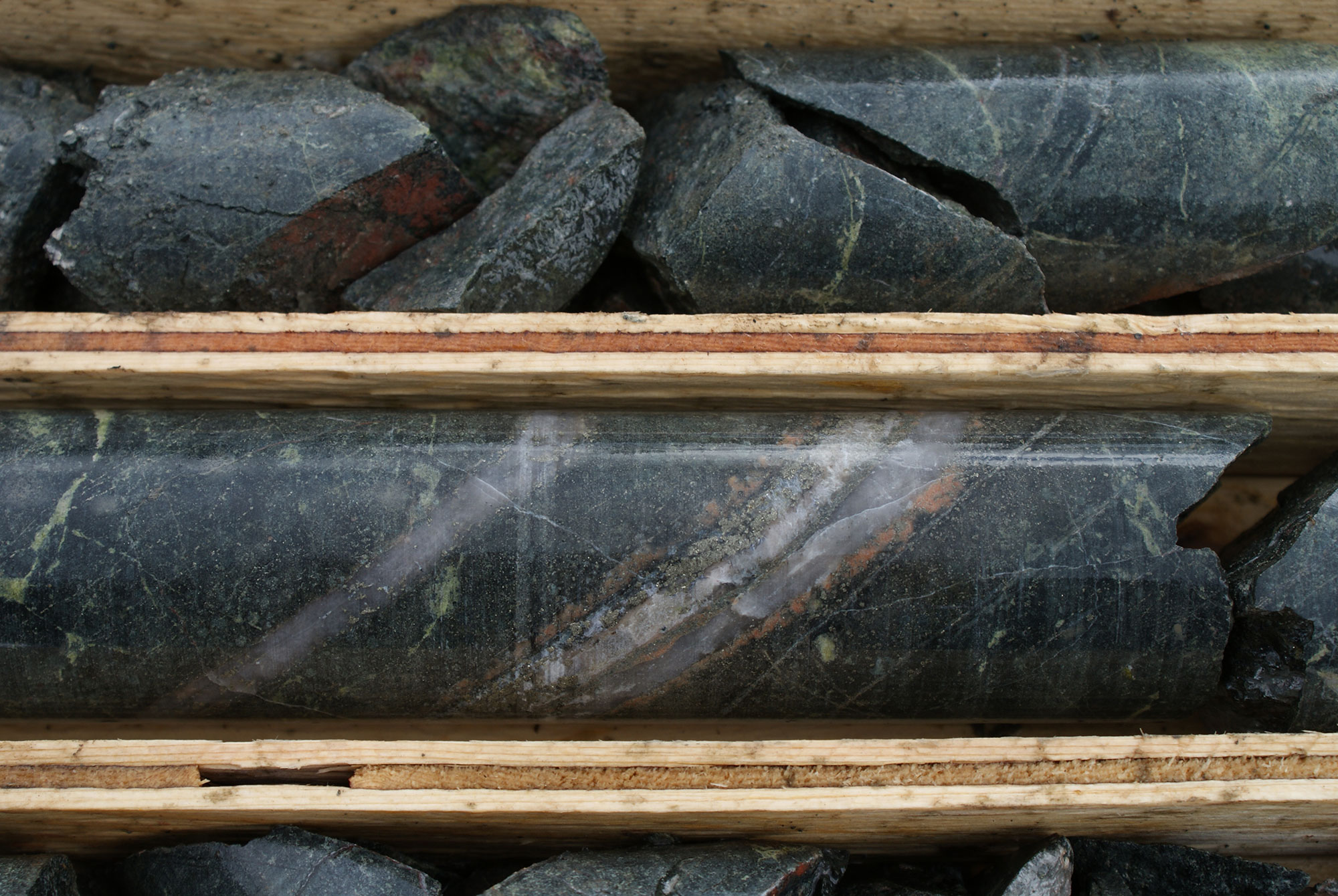
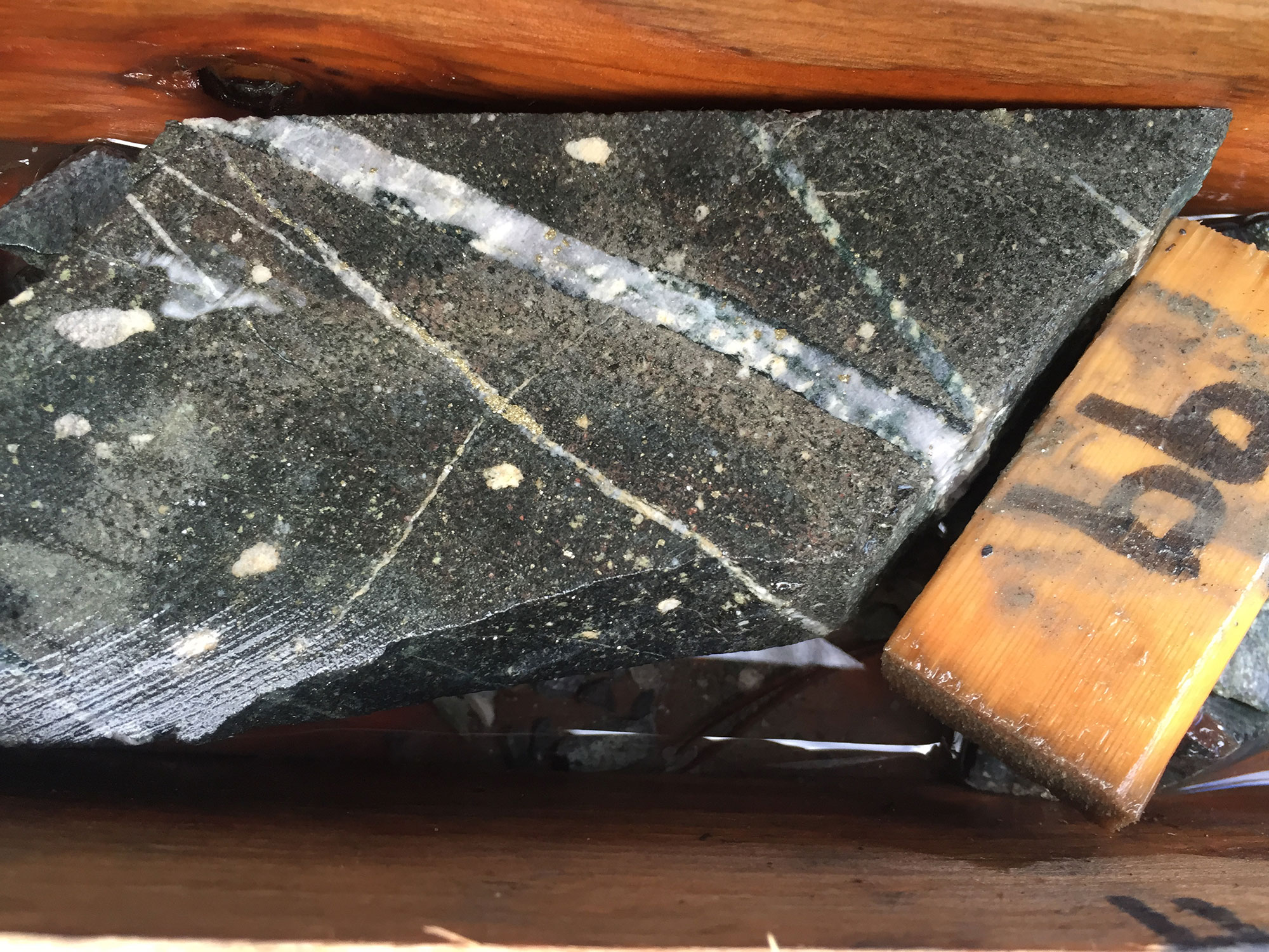
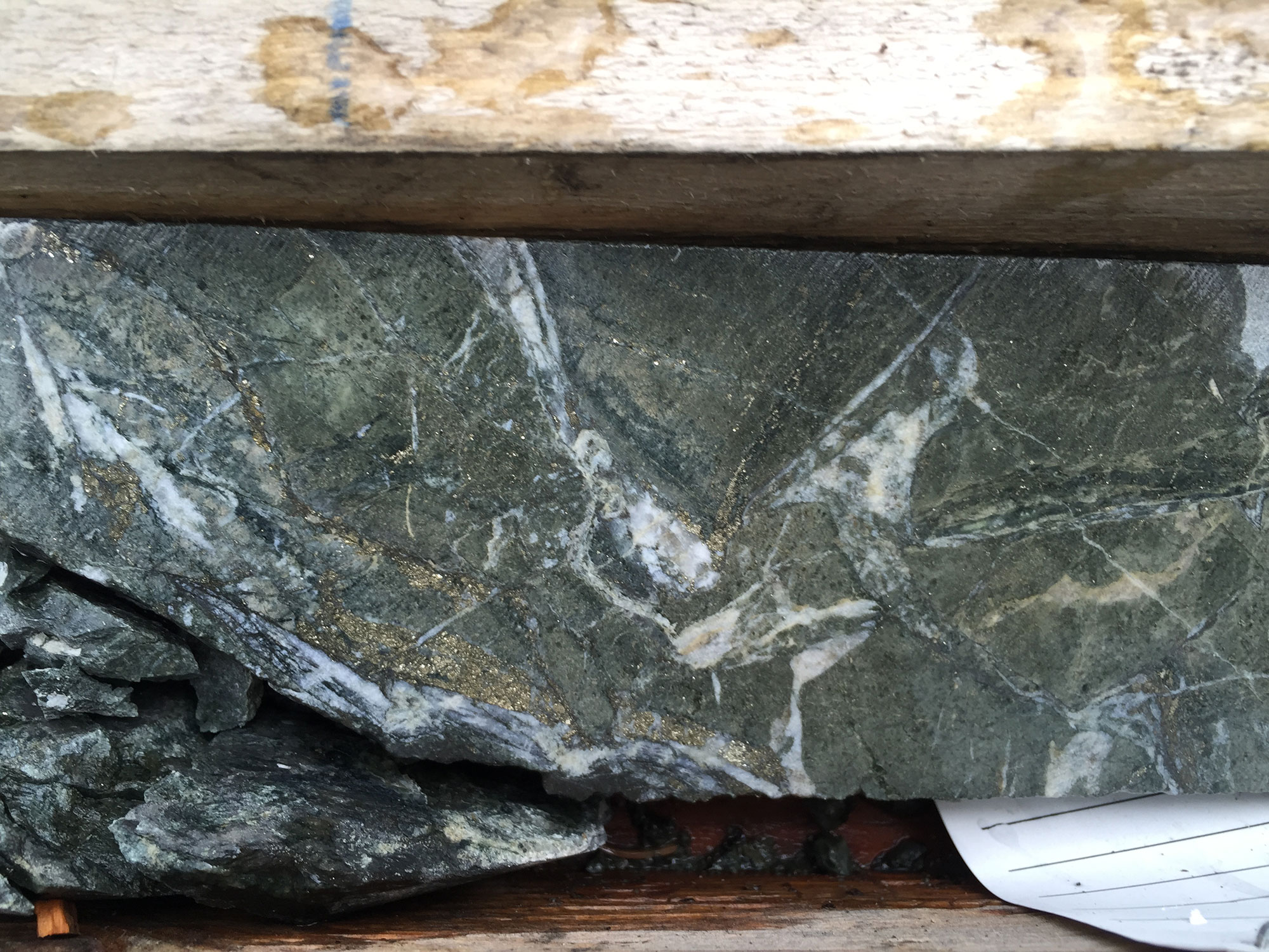
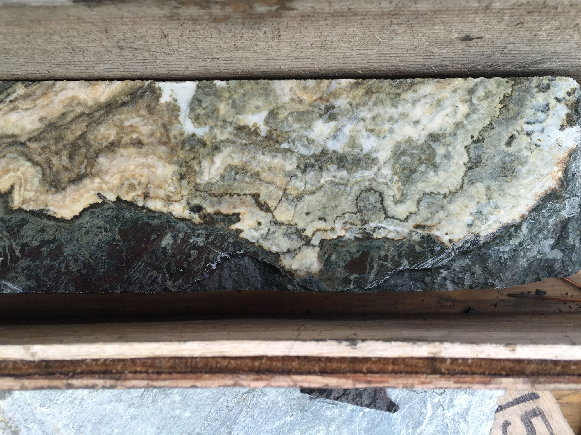
Pinnacle spans Quesnel-arc volcanic/volcaniclastic rocks intruded by monzonitic–syenitic phases (Hogem-style). Copper-gold occurs as quartz–chalcopyrite ± bornite veins/veinlets and disseminations within potassic → calc-potassic cores that grade to propylitic halos—typical of alkalic porphyry systems. IP chargeability highs commonly track magnetic highs and intrusive contacts; soil Cu/Au anomalies sit on top of these features, outlining corridor-scale drill targets.
2025: Access review after logging/fire seasons; targeted rock & soil geochem; prioritize corridors for scout drilling.
2026: Ground-based MT to image resistive cores beneath the best corridors, feeding drill design. Follow-up diamond drilling.
Program criteria (what we’re ranking by)
The earliest record of exploration in the area is from the early 1970’s when a 20-foot wide pyrite rich zone was discovered cutting a rhyolite unit with malachite, chalcopyrite, calcite and hematite. Additional work during the early 1970’s identified areas of anomalous copper and molybdenum in soil. Follow up geophysical surveys were completed in addition to 4 diamond holes where copper mineralization was encountered.
The next phase of exploration took place during the 1980’s when BP Exploration Canada staked the Phil claims. In the summer of 1983, a reconnaissance rock sample returned anomalous gold and copper values and was followed up with additional staking and soil geochemical surveys which outlined two areas of anomalous copper, gold and molybdenum. Additional rock sampling returned up to 1,500 ppb gold and 1.1% copper from potassic altered volcanic rocks. In September of 1990, BP Resources completed 1067.8 m of drilling in six holes. Highlights include 6.4 g/t gold over 6 meters. In addition, forty-one rock chip samples were collected and analyzed for copper and gold; one rock chip sample contained 9,450 ppb gold and 6,600 ppm copper
In the spring of 2007, Solomon contracted Fugro Airborne Systems Inc. to conduct an airborne DIGHEM survey over the property. The survey consisted of 1,458 line-km.
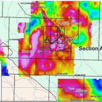
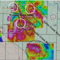
In 2012, Pacific Empire staked the property and in 2014 optioned the property to Oz Minerals Exploration. Three IP grids were completed over coincident magnetic high and resistivity high anomalies referred to as the Later, Sooner and Elbow target areas. Large IP chargeability high anomalies were outlined at the Elbow and Sooner targets, while the Later IP survey resulted in a subtle chargeability response.
The following year Oz Minerals completed six diamond drill holes. Three drill holes were completed at the Sooner target and three holes were completed at the Elbow target. Anomalous intervals of copper were intersected at both target areas. The most significant result was a gold intercept of 94 m grading 0.34 g/t gold from drilling at the Elbow target.
In 2016 the property was optioned to ML Gold Corp. and a three-hole diamond drilling program was completed at the Elbow target area. Again, notable gold intercepts were achieved at the Elbow zone with locally anomalous copper mineralization. Highlights included 41.3 m at 0.42 g/t gold in hole DD16ELB007.
The following year, ML Gold completed a further five diamond drill holes immediately to the west of the historical Aplite Creek drilling by BP Selco in 1990.